CodyRTK Service 12 Months
$1,500.00 + GST
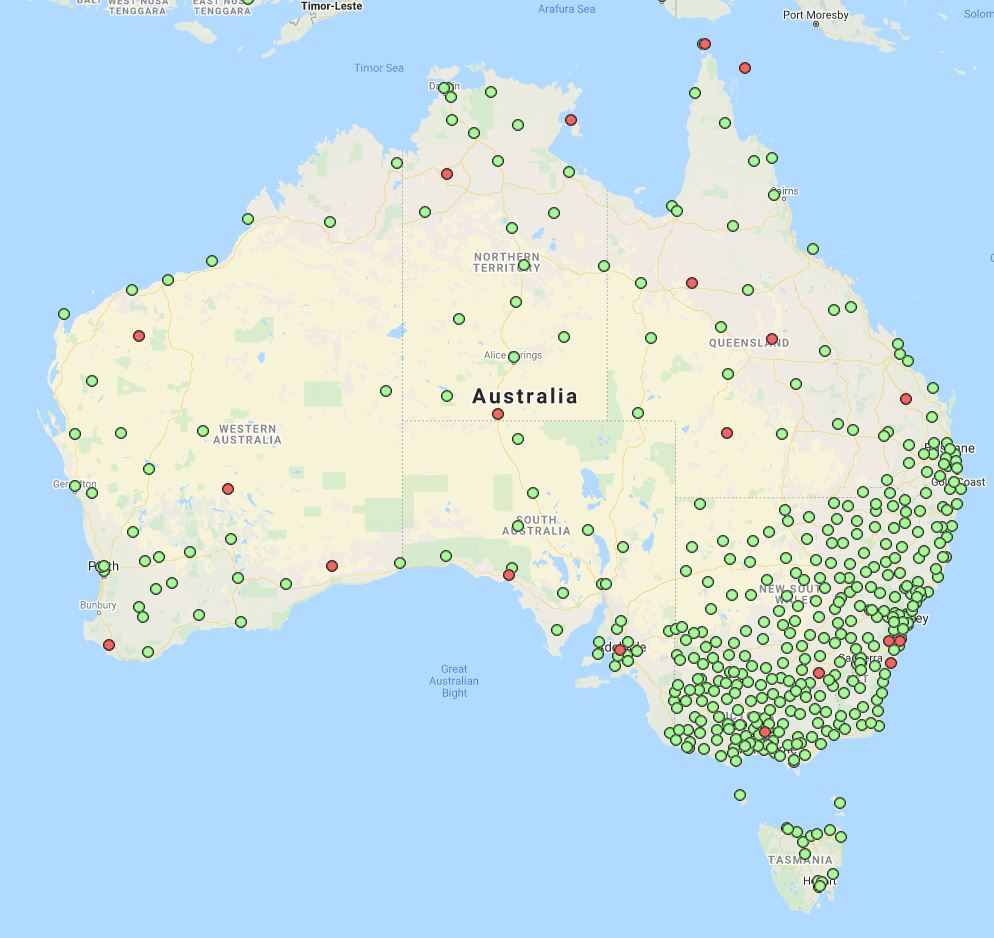
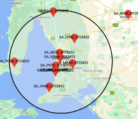
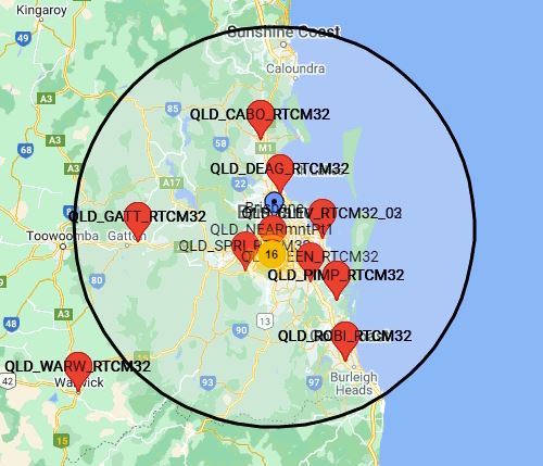
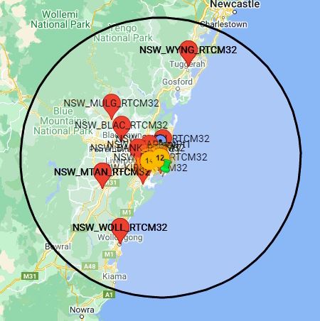
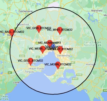
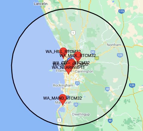
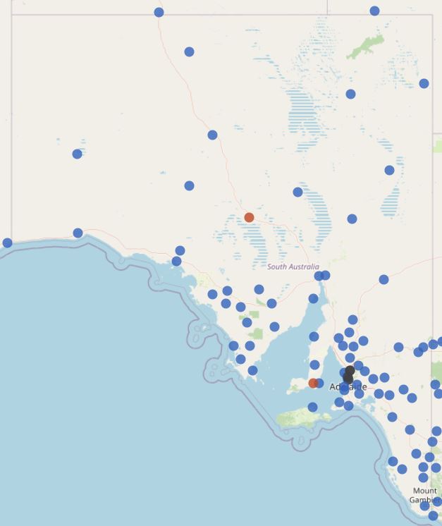
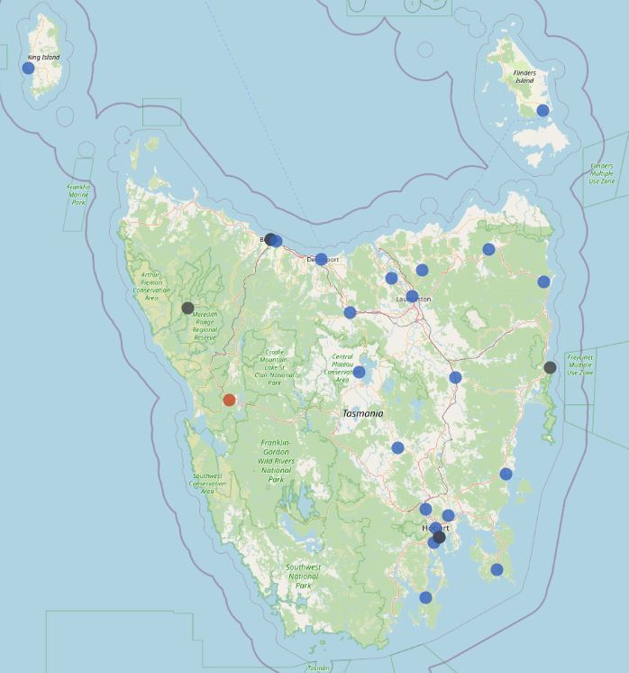
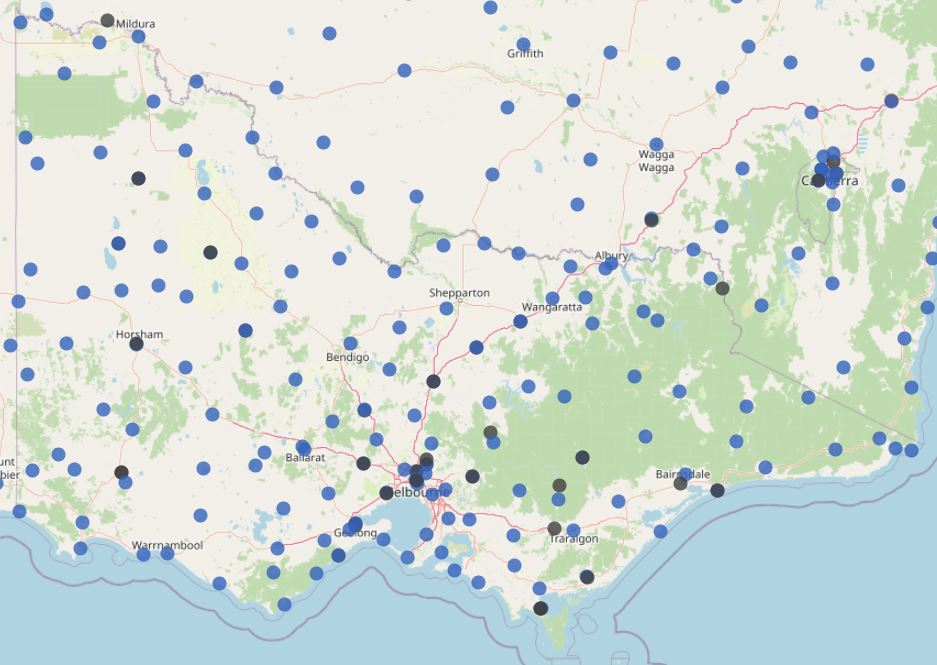
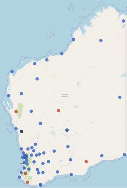
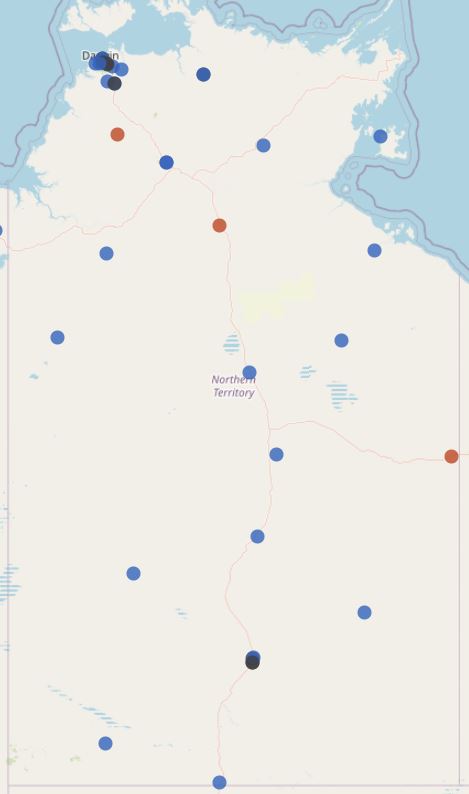
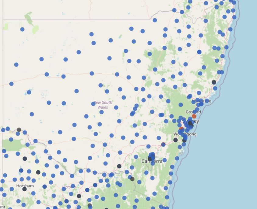
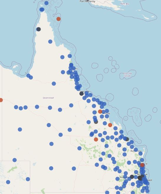
CodyRTK provides reliable GNSS RTK corrections via 4G connectivity, delivering centimetre-level accuracy across Australia with access to over 800 reference towers nationwide.
The CodyRTK GNSS Correction Subscription delivers high-precision, real-time positioning for surveyors, construction professionals, and machine control users across Australia. Using a robust 4G network connection, CodyRTK streams fast, stable RTK corrections directly to your GNSS receiver, eliminating the need for local base stations.
With access to over 800 RTK reference towers Australia-wide, CodyRTK ensures consistent coverage and dependable accuracy whether you’re working in metropolitan areas or regional locations. The network is designed for low latency and high uptime, helping you maintain productivity and confidence on every job.
CodyRTK is compatible with most major GNSS brands and supports standard correction formats, making integration quick and straightforward. Simply connect via 4G, select the nearest reference station, and start working with centimetre-level accuracy in real time.
Key Features & Benefits
-
Australia-wide coverage using 800+ RTK reference towers
-
Reliable 4G GNSS correction delivery
-
Centimetre-level positioning accuracy
-
No base station required
-
Fast connection and low latency
-
Compatible with most GNSS receivers and software
-
Ideal for surveying, construction, agriculture, and machine control
CodyRTK is a simple, scalable RTK correction solution built to support precision work anywhere in Australia.
Get in touch