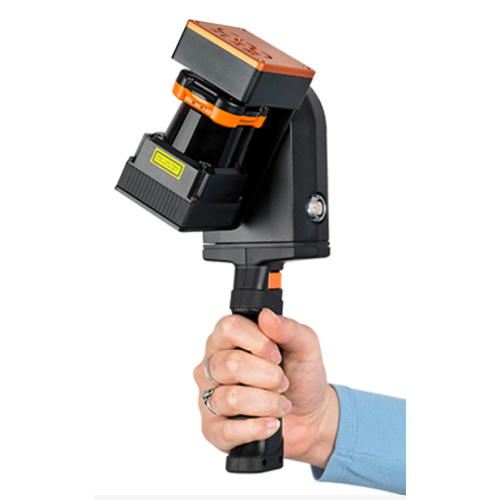
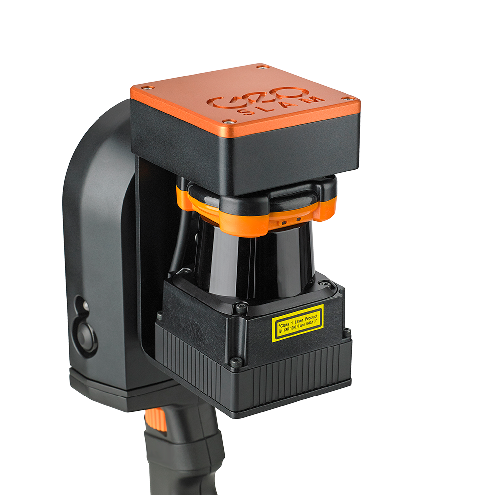
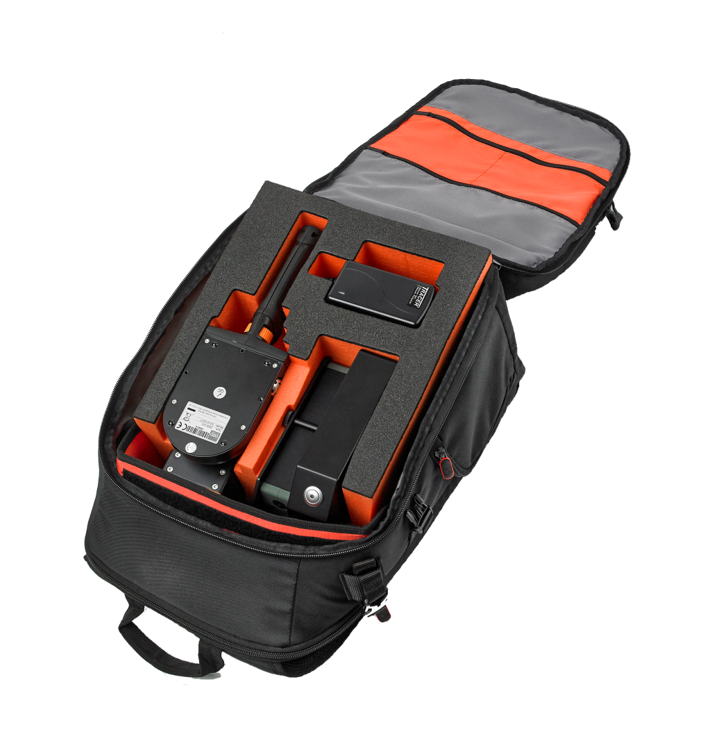
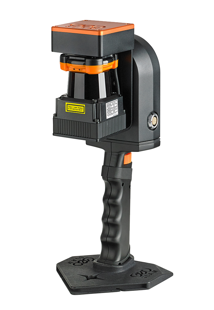
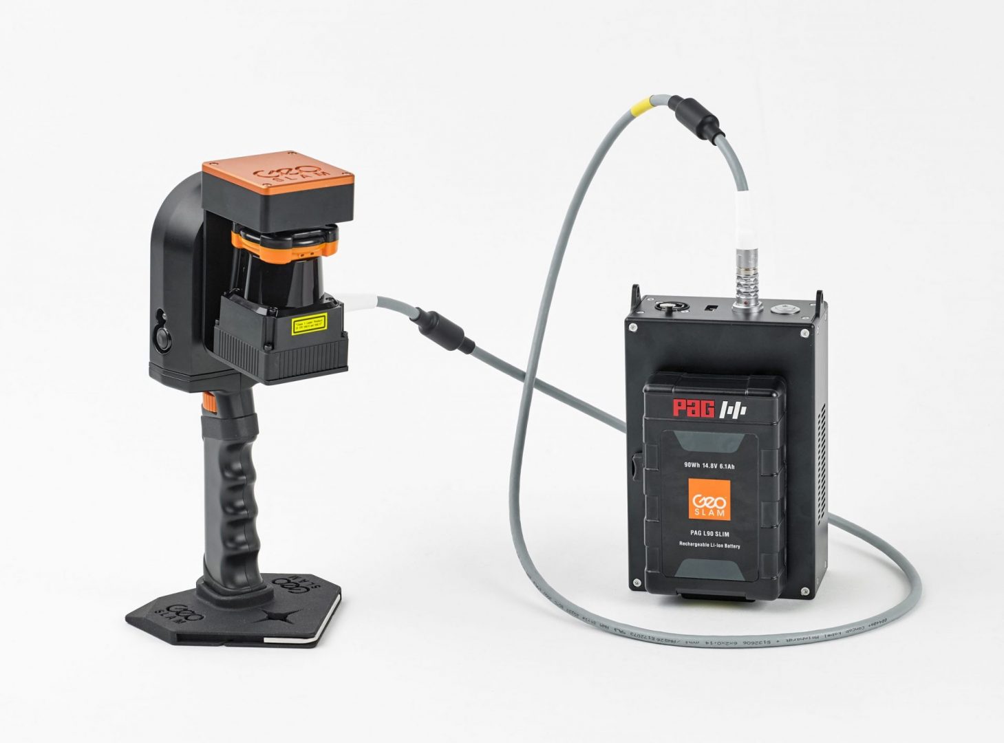
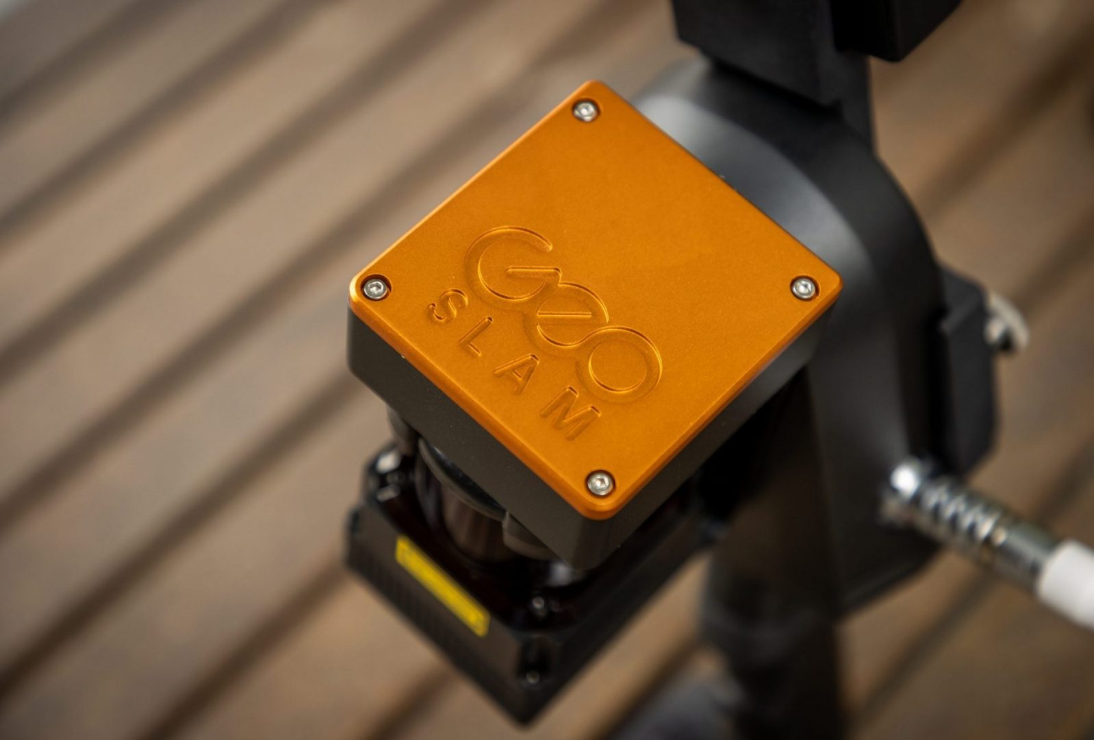
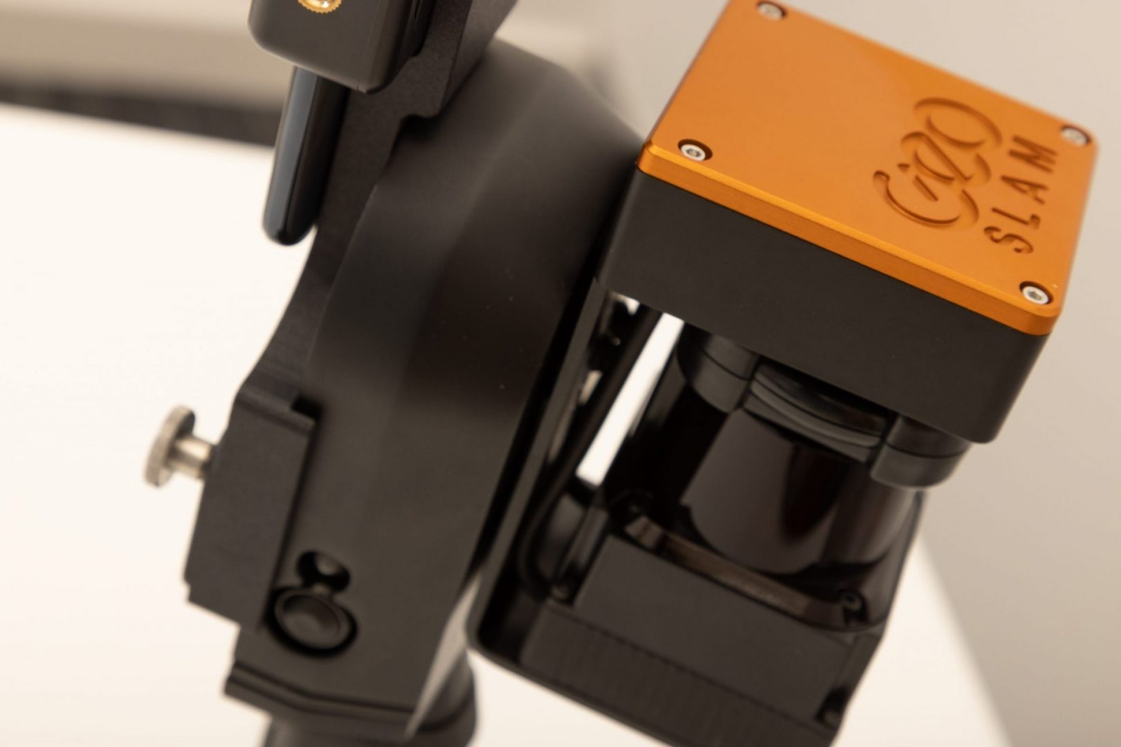
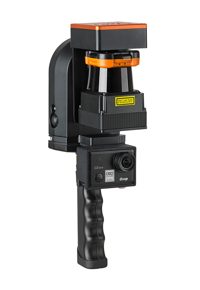
Meet the ZEB Go – Handheld laser scanning for everyone
Zeb Go – Handheld laser scanning for everyone
If you’re looking for a reliable way to map and understand spaces, meet the ZEB Go.
The ZEB Go is your first step in SLAM handheld technology, so whether it’s the first time you’ve looked at digital surveying, or you want each of your sites equipped with the smartest SLAM, the ZEB Go is the place to start.
Powered by the smartest SLAM
With one button operation, you’ll be up and running fast – capturing survey grade data in minutes.
Process a pointcloud quickly using our intelligent point cloud processing platform GeoSLAM Hub.
GeoSLAM data is compatible with software that works for you with universal file formats (LAZ/LAS/PLY/TXT/e57).
One tool. So many ways to use it.
Software that works for you.
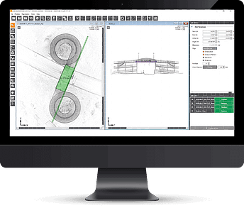
Create clean, georeferenced point clouds automatically with GeoSLAM Connect
With the press of one button, your data will be automatically processed, saved in a folder of your choice, and prepared for the next step of your workflow. Connect comes as standard with all our ZEB mobile mapping scanners.
GeoSLAM data is compatible with software that works for you with universal file formats (LAZ/LAS/PLY/TXT/e57)
Meet the ZEB Go
Used mostly for scanning indoors or in underground mines and caves with an IP64 rating. Can be used for applications such as construction/BIM or creating floorplans. Can be used outdoors and has a range of 30m.
Get in touch
