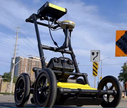
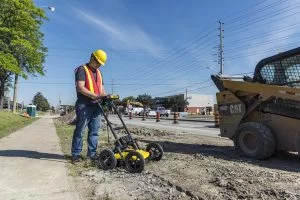
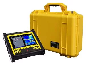
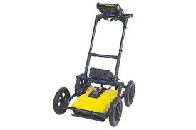
LMX100 GPR System
LMX100™ GPR
Ground Penetrating Radar (GPR)
LMX100™ GPR
Ground Penetrating Radar (GPR)
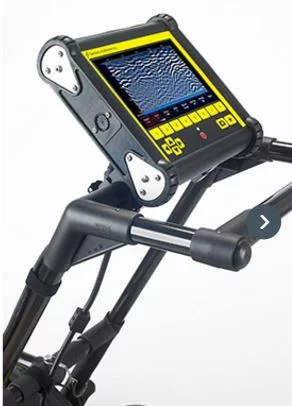
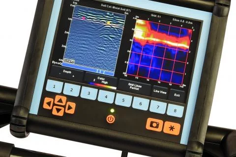
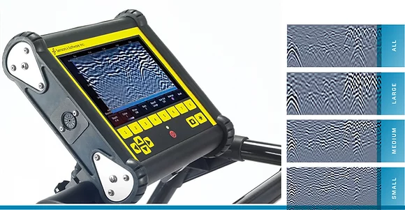
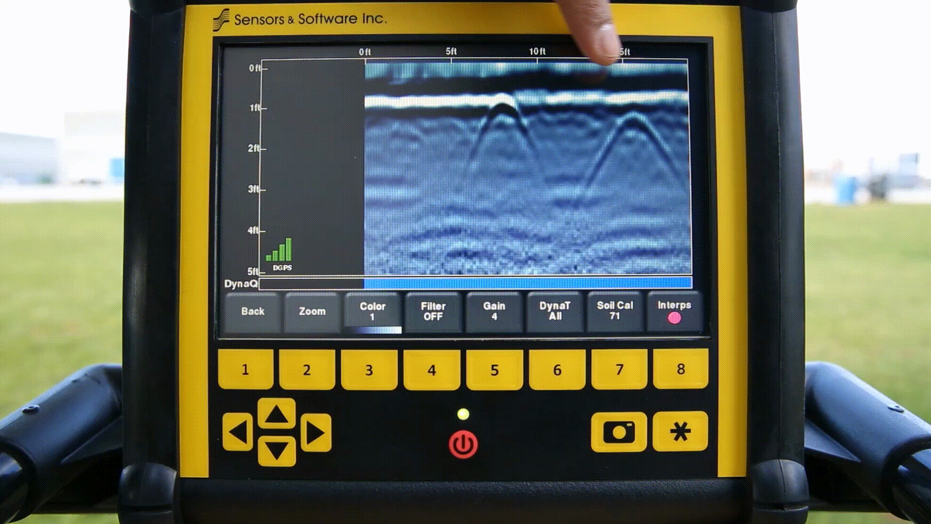
Our Sensors & Software LMX100™ completes the locator’s toolbox, offering a more complete picture of the underground infrastructure. With a simple, easy-to-use interface it also offers the perfect balance of depth penetration and high resolution for accurate locating.
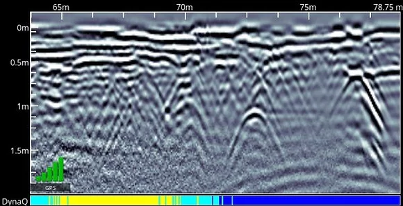
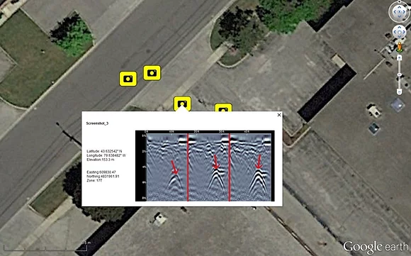
LMX has the advantage of detecting:
- Metallic and non-metallic utilities
- Utilities with broken tracer wires
- Undocumented utilities
- Trenches and disturbed soil often associated with utility burial
- Unexpected obstacles or buried structures such as old foundations that can cause problems for excavations or construction
Get in touch