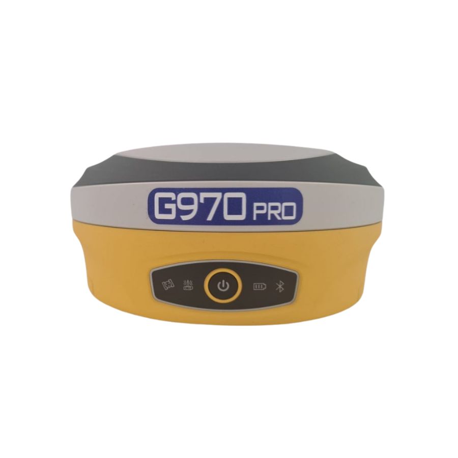
ORBIT G970 PRO GNSS Receiver
G970II supports GPS, GLONASS, BDS, GALILEO and other systems to receive multi-frequency signals. The build-in “Lyra” baseband chip is able to provide more channels. The receiver supports “Atlas” L-Band signals and can achieve centimetre-level positioning.
Download Brochure Here – ORBIT G970 PRO
ORBIT G970 PRO GNSS Receiver Specifications
ORBIT G970 PRO GNSS receiver. In combination with an CodyRTK Subscription this receiver is capable of providing centimetre accuracy in real time. Because The Stonex S900 supports GPS, Glonass, Galileo, Beidou and QZSS satellite constellations it is capable of achieving this centimetre accuracy in tough conditions. Down below you can find which frequencies it supports. The Orbit G970 PRO comes with 800 channels, IMU enabled for tilt surveying up to 60 degrees.
G970 Core Technology
The G970 PRO Extreme Edition is equipped with a new generation of high precision positioning boards, 800 channels, supporting 4-satellites full-band satellite signal reception, and fully supports the fourth-generation GNSS positioning technology.
◆ A new generation of Athena RTK engine to effectively improve the initialisation speed and accuracy in harsh environments.
◆ Support “ATLAS” L-Band signal receiving, single-machine centimetre-level positioning accuracy anywhere in the world.
◆ Support “aRTK” technology, maintain a fixed resolution for a period of time in the case of a differential data link interruption.
Fusion Positioning
Using fusion positioning technology, built-in high-precision IMU inertial navigation module, patented IMU inertial navigation and GNSS fusion positioning algorithm, Support 400Hz positioning data output, can do tilt measurement, Surveying at any time.
Combined Antenna
A new generation of combined antennas, GNSS, WiFi, Bluetooth, 4G. The antenna is integrated, the system level is optimised, and the signal strength is improved Up 30%
Dual Batteries Dual insurance
Dual battery + dual battery compartment double insurance design, unique ingenuity, battery self-contained power intelligent detection chip, remaining power, one click know
Intelligent System
Based on intelligent operating system, the newly designed new generation WebUI makes RTK operation as simple as the Internet; intelligent TTS voice prompts support user DIY settings; UniCloud private cloud service, remotely control the working status, make your instrument smarter.
This receiver can be used in all applications where a centimetre accurate position is needed:
- Surveying
- GIS applications
- Earthworks
- Roadworks
- Construction
- Agriculture
- Mapping
- Landfill
- Hydrographic
- UAV Base Station
| Channels | 800 |
| IMU Tilt Sensor | 60º |
| Internet Modem | 4G |
| UHF Radio | 410-470MHz, 902.4 – 928MHz |
| GPS | L1 C/A, L1C, L2C, L2P, L5 |
| GLONASS | L1 C/A, L2C, L2P, L3, L5 |
| GALILEO | E1, E5A, E5B, ALTBOC, E6 |
| BEIDOU | B1, B2, B3 |
Get in touch

