Carlson PhotoCapture v2 Standalone
Carlson PhotoCapture
Bridging the gap between Drones and CAD
Aerial surveying and drone photogrammetry is rapidly becoming a vital part of any surveyor’s toolkit. Thousands of people use drone site flyovers every day to help boost efficiency and lower costs.
With Carlson PhotoCapture drone photo processing software, you can use flyover data to:
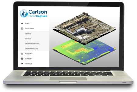
• Quickly generate interactive 3D maps of sites
• Capture highly accurate 3D site data in point clouds, orthophotos, and more
• Integrate LiDAR data from aerial or ground sources into photogrammetry projects
• Share site maps with customers – anywhere, anytime!
• Save man-hours in the field
Get in touch