


Electricty Tower IOT Structural MonitoringFor electricity utility companies the biggest form of outages of their network comes from supply towers failing. Although utility companies monitor the changes in electricity transmission, collection of customer data and the...
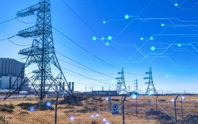
Electricity Tower IOT Structural Monitoring
read more