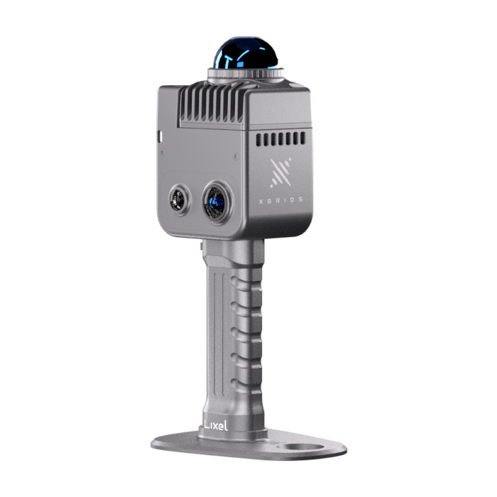
XGRIDS Lixel K1 Standard Package
$19,999.00 + GST
The XGRIDS K1 Kit is a compact, high-accuracy mobile mapping solution combining LiDAR, GNSS, IMU and multi-camera imaging to rapidly capture detailed 3D point clouds and colourised models. Designed for surveyors, engineers and mapping professionals, the K1 delivers fast, reliable spatial data in complex environments.
Out of stock
XGRIDS K1 Kit – Compact Mobile Mapping System
The XGRIDS K1 Kit is a professional-grade mobile mapping solution engineered for fast, efficient, and highly accurate 3D data capture. By integrating LiDAR scanning, high-precision GNSS, IMU sensors, and multi-camera imaging, the K1 allows users to collect dense, colourised point clouds in a wide range of environments — from urban corridors and construction sites to infrastructure inspections and asset mapping.
Its lightweight and compact design makes the K1 ideal for handheld, backpack, or vehicle-mounted applications, delivering flexibility without compromising accuracy.
Key Features
-
High-Density LiDAR Scanning
Capture detailed 3D point clouds with excellent range, accuracy, and consistency. -
Integrated GNSS + IMU
Ensures precise positioning and stable trajectory data, even in challenging GNSS environments. -
Multi-Camera Imaging
Produces colourised point clouds and realistic 3D models for enhanced visual interpretation. -
Fast Data Collection
Significantly reduces field time compared to traditional static scanning methods. -
Compact & Lightweight Design
Easy to deploy across multiple platforms including handheld, backpack, and vehicle setups. -
Advanced Post-Processing Software
Seamless data processing, alignment, and export to industry-standard formats.
Applications
-
Topographic and cadastral surveying
-
Construction progress monitoring
-
Urban and corridor mapping
-
Asset inspection and documentation
-
Mining and quarry mapping
-
BIM and digital twin creation
What’s Included
-
XGRIDS K1 mobile mapping unit
-
Integrated LiDAR, GNSS, IMU and camera system
- GCP Collection Plate
-
Power supply and mounting accessories
-
Data cables and storage media - 256GB SD Card
-
Software licence (processing & visualisation)
-
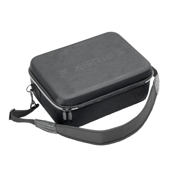
Carry case
Why Choose the XGRIDS K1 Kit?
The XGRIDS K1 Kit offers an ideal balance of portability, accuracy, and performance, making it a powerful tool for professionals who need fast, reliable spatial data without the complexity of traditional scanning workflows. Whether mapping tight urban spaces or large-scale infrastructure, the K1 delivers consistent results you can trust.
Get in touch