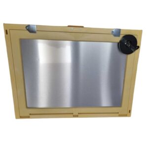
A laser land leveller- a machine equipped with a laser guided drag bucket- is much more effective and quicker in ensuring a flat table-top like surface. An even land means irrigation water reaches every part of the field with minimal waste from run-off or water-logging.
Surveying Accessories
Surveying Accessories
Product Categories
Digital Terrain Models Explained
In the following article we would like to examine how we can digitalize and model existing or new surfaces.To name only a few applications of such models: Find the best position for radio masts or solar power plants Simulate noise...
CHC at Intergeo 2015 – New Product Announcements
{youtube}lBT5YH0Bwyw{/youtube} Lance Andre, regional sales manager for North America at CHC Navigation, introduces CHC’s new positioning products at INTERGEO 2015, which was held Sept. 15-17 in Stuttgart, Germany.The X20i L1 GPS receiver (repurposed from the X20) now...
Excavator Systems – Working with slopes
Using an excavator system can increase the efficiency of an excavator significantly. To create a slope using one of the Xsite systems is simple, enter a slope and start excavating. In our example below we want to create a surface with a slope of 20% along one axis and...
Schonstedt – New Product Announcement
NEW Maggie Magnetic Locator:The Best Just Got...
Grade Laser Setup – Dual Plane Axis Alignment Guide
A guide on setting up a single or dual graded site using a grade laser that isn’t equipped with a grade alignment system. ie. most grade lasers.


